MAP
LIST
INFO
SUBMIT
[006] NORWOOD ROAD (SOUTH)
FIR VALE S5/ 53.4049341,-1.4610726/
SHOW MAP
1 / 3
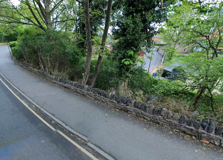
Long, low wall around corner on North East side of road / Forms top of embankment between Norwood and Crabtree Road.
Photos: Google Maps
2 / 3
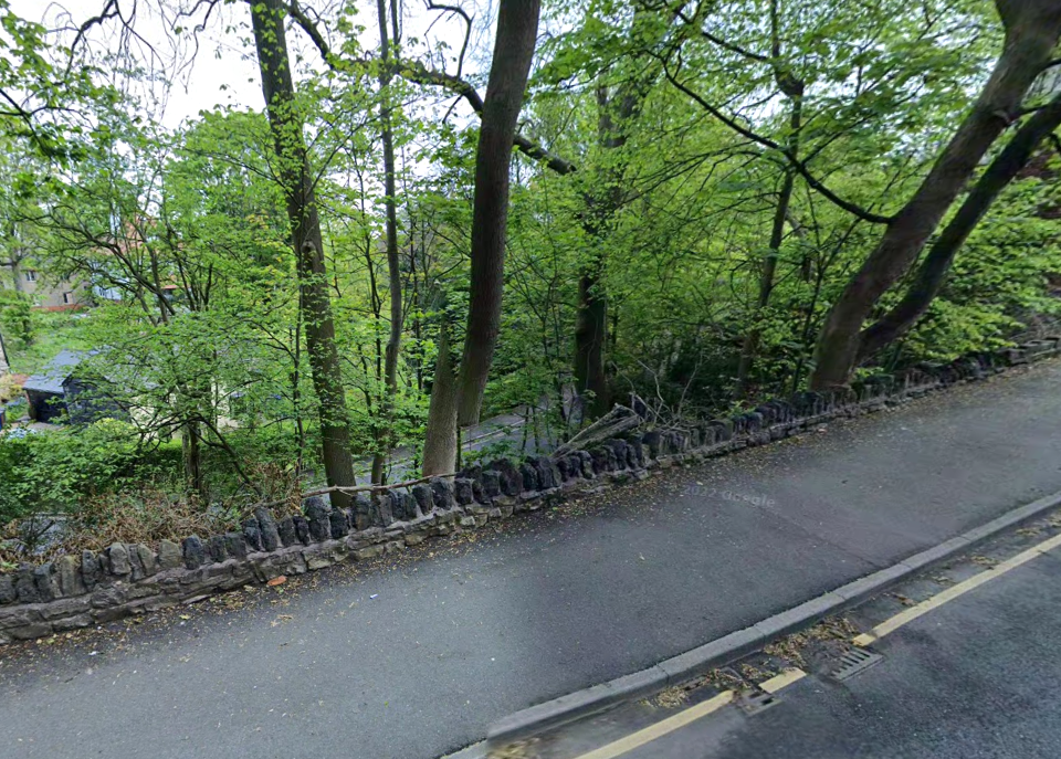
Long, low wall around corner on North East side of road / Forms top of embankment between Norwood and Crabtree Road.
Photos: Google Maps
<
>